My verdict: Zhangjiajie National Forest Park is not difficult because the paths are unknowable. It is difficult because one ticket map places a valley, several mountaintops, multiple gates and expensive vertical transport on the same sheet. Give it two days. Use one day to read the pillars from above and one to feel their scale from below. The best route is the one that preserves enough attention to see the mountain change.
Zhangjiajie National Forest Park makes sense when you plan by level, not landmark
The first useful distinction is vertical. Yuanjiajie, Tianzi Mountain and Huangshizhai are upper landscapes. Golden Whip Stream and the forested gorges are lower landscapes. Elevators, cableways, scenic buses and long stair routes connect them, but they do not erase the physical cost of changing levels.
That is why a list of famous names produces a bad day. It encourages a visitor to collect Yuanjiajie, Tianzi Mountain, Golden Whip Stream, Huangshizhai and every named pillar as if they were rooms in one museum. They are not. The park is a transport system laid over a living sandstone landscape.
UNESCO describes the wider Wulingyuan property as roughly 26,400 hectares with more than 3,000 narrow quartz-sandstone pillars and peaks, many over 200 metres high. The official Zhangjiajie UNESCO Global Geopark also places Yuanjiajie, Yangjiajie, Tianzi Mountain, Golden Whip Stream, Huangshizhai and other areas inside one much larger geological story. Those names are not interchangeable photo stops. Each gives the rock a different foreground, distance and bodily scale.
My two-day rule is simple:
| Day | Main level | Strongest decision | What to refuse |
|---|---|---|---|
| Day 1 | Upper pillar field | Choose one ascent, a coherent Yuanjiajie–Tianzi sequence and one descent | Crossing the park again for a final low-value viewpoint |
| Day 2 | Valley and stream | Enter for Golden Whip Stream, then decide whether Huangshizhai fits your legs and time | Treating the full creek plus a summit climb as compulsory |
This structure does less on paper and reveals more in memory. Above, mist can detach the pillars from their bases. Below, water, roots and echo restore the weight that panoramic photographs remove.
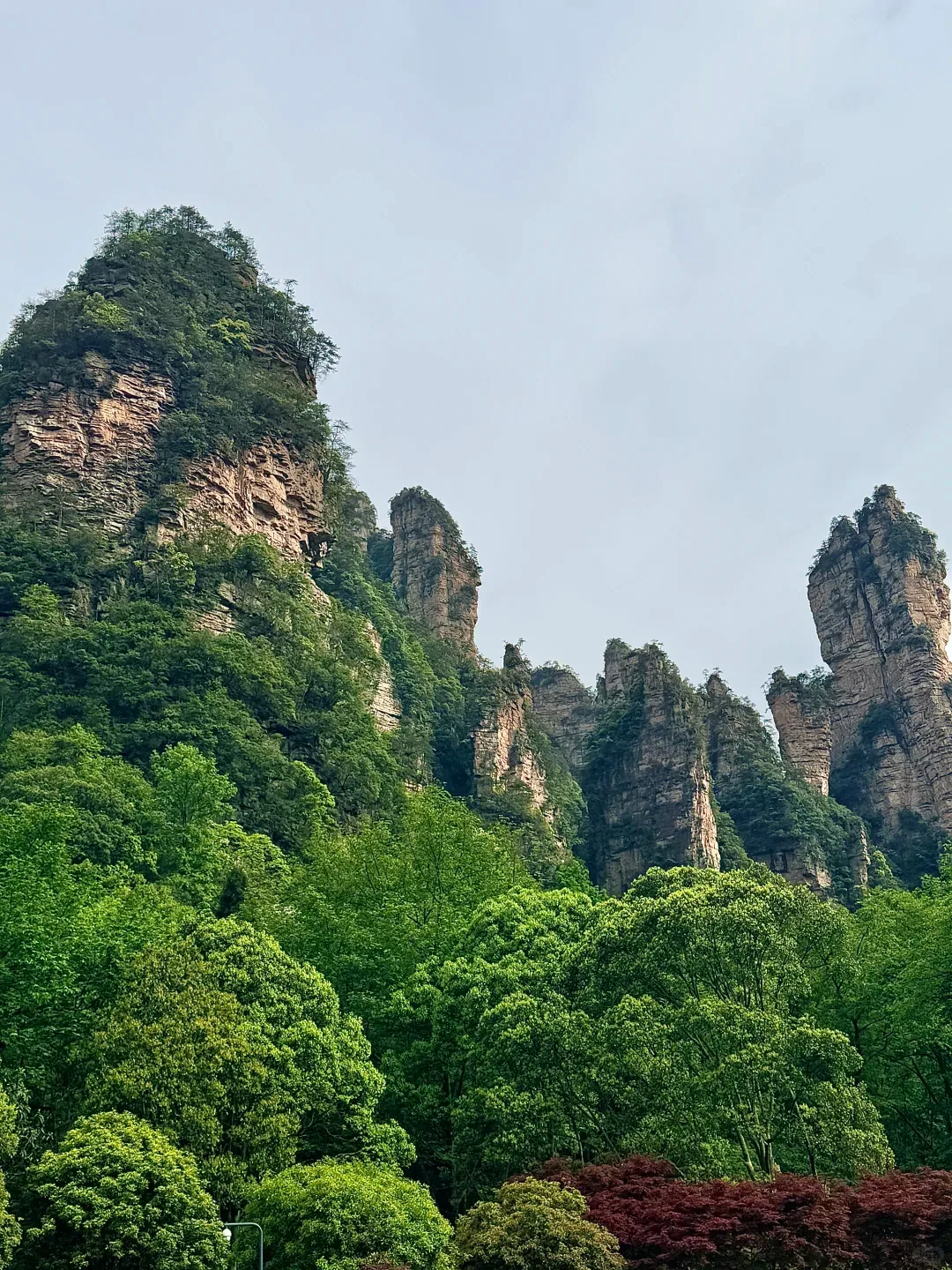
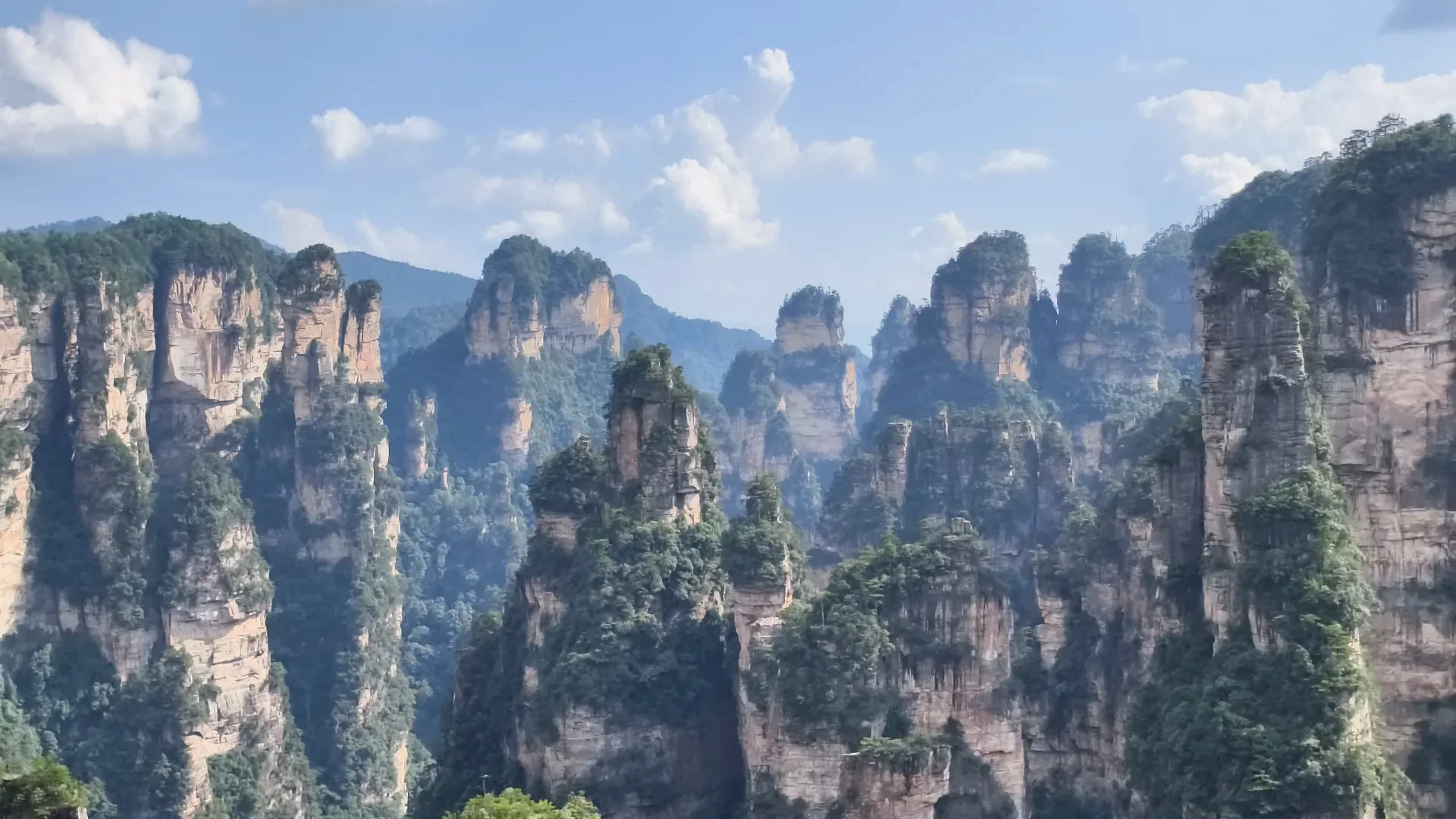
This authorized visitor photograph proves the density, vegetation and close visual spacing of the upper pillar field. It cannot identify every named formation or establish the day's visibility elsewhere in the park.
Zhangjiajie National Forest Park is inside Wulingyuan, not beside Tianmen Mountain
Three names cause most first-visit confusion.
- Zhangjiajie is the city and the regional travel label.
- Wulingyuan is the wider protected scenic and World Heritage landscape, as well as the name used for the district and common visitor base.
- Zhangjiajie National Forest Park is the historic national-park core within that wider landscape; travel products often use its name loosely for the connected Wulingyuan visit.
Tianmen Mountain is separate. Its city-to-summit cableway, cave, cliff paths and A/B/C route system belong near central Zhangjiajie, not inside this park day. Our Zhangjiajie travel guide owns the sleeping-base and multi-day architecture; the Tianmen Mountain guide owns that separate vertical circuit.
This naming issue is not trivia. If you reserve the wrong gate or sleep beside the wrong cableway, the mistake becomes a morning transfer. Save the Chinese name and exact gate of the booking. “Zhangjiajie entrance” is not precise enough for a driver, hotel or tired group chat.
The Hunan tourism authority's Wulingyuan transport guide maps multiple entrance stations and their internal connections. Read it for the logic, then check the live booking interface and on-site notices. Gate labels, line packages, maintenance and last transport times can change.
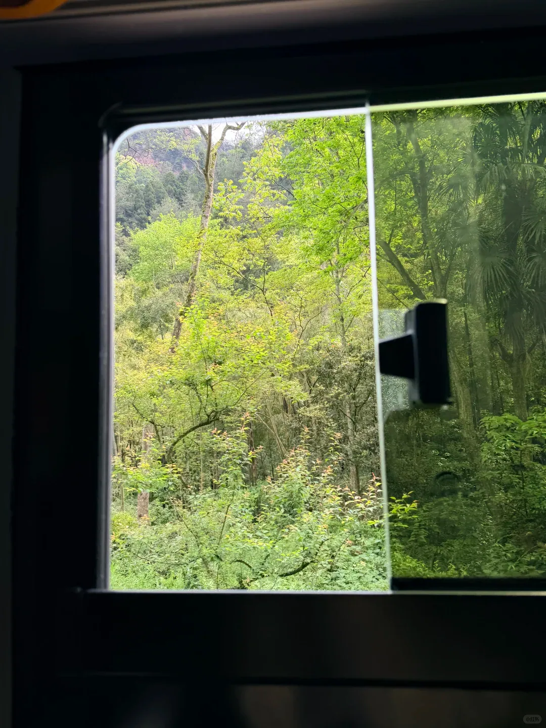
The bus window is part of the experience, not dead space. This photograph proves that internal transport moves through dense forest immediately below the cliffs. It does not prove a route number, travel time or that every shuttle has the same view.
East Gate is convenient; South Gate changes the emotional opening
Wulingyuan's East Gate is the easiest default for many first-time visitors because the surrounding town has a dense supply of accommodation and food, and the gate connects well with the scenic-bus system. Convenience matters. A dawn taxi across the region is not a noble way to begin a mountain day.
But South Gate creates a different opening. It places the visitor near the older Zhangjiajie National Forest Park entrance, the oxygen-square area, Huangshizhai access and the Golden Whip Stream approach. The first hour feels like entering forest rather than entering a transport interchange.
I would not declare one gate “best.” I would assign each a job:
- Use East Gate for a first upper-level day built around Bailong Elevator, Yuanjiajie and Tianzi Mountain.
- Use South Gate for a lower-level day centered on Golden Whip Stream and a possible Huangshizhai ascent.
- Use another gate only when the live route, your accommodation or a specific open area gives it a clear advantage.
Changing gates between days is reasonable. Crossing the entire park merely to exit through the gate named in an old blog is not. The route must end where your body, hotel and final scenic transport can realistically meet.
Bailong Elevator is infrastructure, spectacle and compromise at once
The Bailong Elevator climbs the cliff edge and turns a long change in elevation into a short mechanical event. It is thrilling because the doors open onto a geological scale the body did not earn step by step. It is controversial for the same reason: steel, glass, queues and visitor volume occupy a protected landscape.
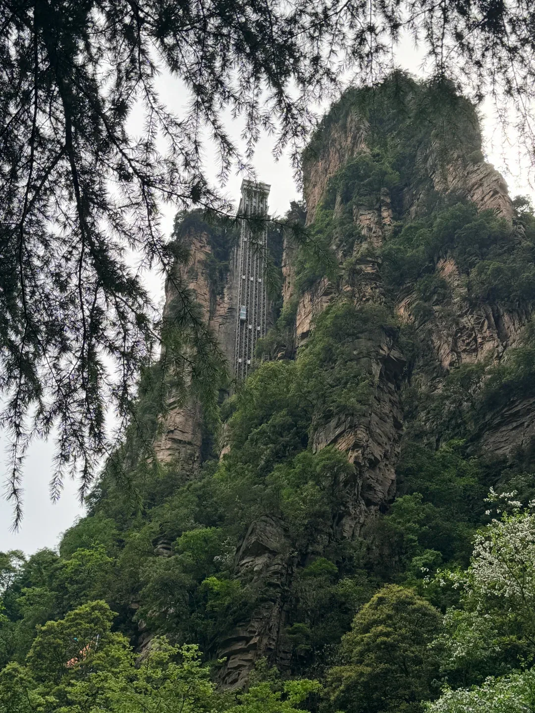
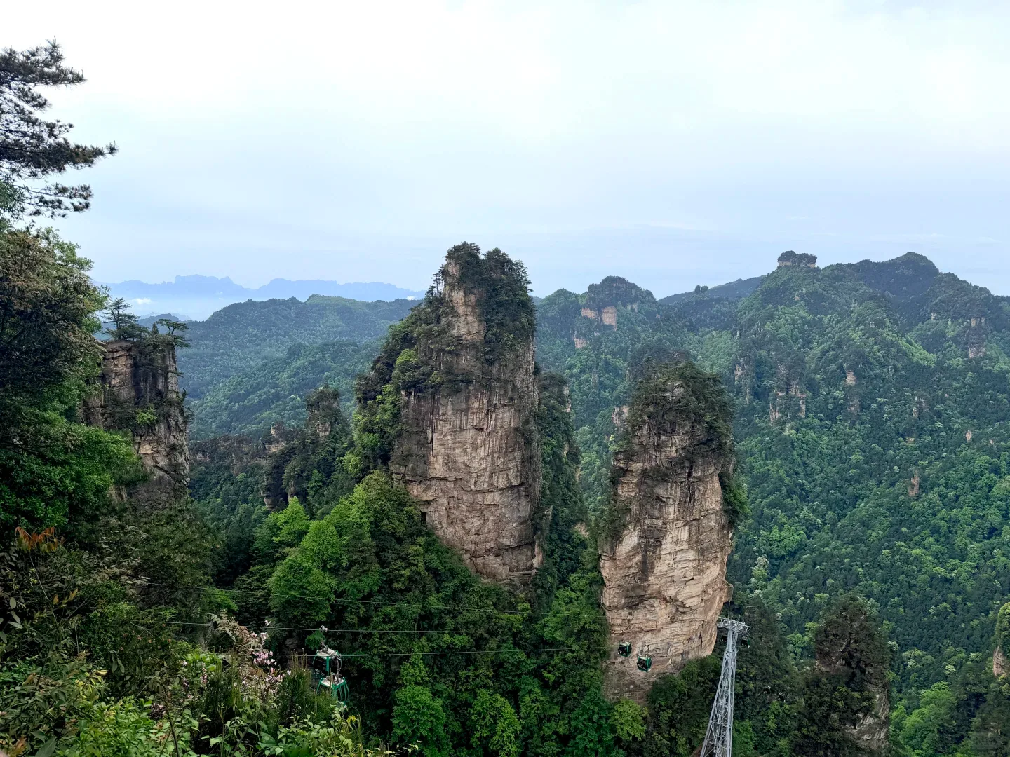
This real view proves the elevator's physical relationship to cliff and forest. It cannot establish the queue, operating status, ticket inclusion or environmental impact on the day you visit.
My position is not purist. Use the elevator when it protects a coherent route or makes the upper landscape accessible to someone who could not reach it otherwise. Do not use it simply because a package labels it mandatory. A long queue can erase the time it was meant to save; a cableway or different gate may create a calmer day.
The machinery also deserves honesty. UNESCO's conservation record recognizes that tourism infrastructure and visitor pressure have to be managed. Pretending the elevator is invisible is childish. Pretending nobody should use managed transport is equally detached from the people who actually visit. The ethical decision is to obey controls, avoid damaging shortcuts and use infrastructure deliberately rather than compulsively.
Yuanjiajie is the famous reveal, but Tianzi Mountain gives the field depth
Yuanjiajie supplies the close, dramatic pillars that dominate the international image of Zhangjiajie. The formations rise in front of the viewing paths with enough separation to produce the “floating” effect when mist hides their lower slopes.
Tianzi Mountain changes the composition. Its viewpoints can expose layers of towers receding across a wider field. When visibility is strong, that distance explains that Wulingyuan is not one strange column but an entire eroded system.
The correct response is not to rush between every platform. Stop at one viewpoint long enough for the crowd to rotate. Compare the vegetation lines. Watch cloud move through the gaps. A name on a sign may tell you what local imagination saw in a formation; your eyes still need time to discover why one tower separates from another.
Visual fatigue is real. After a sequence of adjacent overlooks, the brain starts filing every pillar under “beautiful rock.” That is the moment to leave the ridge, not the moment to add three more stops. East Moment's unpopular rule is that the final famous viewpoint is often the first one you should skip.
The Avatar mountains are a useful invitation and a bad explanation
Search demand calls this “Avatar mountain China,” and local tourism marketing has leaned hard into the association. One pillar was renamed around the Hallelujah Mountain idea, signs use Pandora language, and recent Hunan tourism copy has even described multiple sites as filming locations.
East Moment will not turn that marketing sentence into production history. The official Avatar production record describes a digitally built world and extensive work in New Zealand; it does not give travelers a basis to say the movie was filmed on these Wulingyuan paths. The honest statement is narrower: Zhangjiajie's pillar landscape has become visually associated with Pandora and is promoted as an inspiration or real-world analogue. It is not necessary to invent an on-location shoot to appreciate the resemblance.
This boundary matters because the comparison can erase China. The local names Yuanjiajie, Tianzi Mountain, Golden Whip Stream and Huangshizhai describe a real geography with Chinese histories and visitor habits. “Avatar mountains” describes what an overseas viewer already knows. Use the film to open the door, then learn where you actually are.
Golden Whip Stream returns the mountain to human scale
The upper platforms make the pillars look collectible. Golden Whip Stream makes them heavy again.
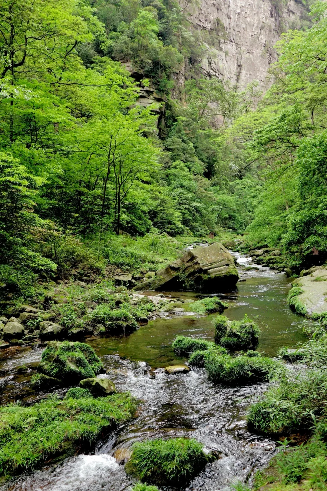
At stream level, the horizon closes. Water occupies the foreground; trunks interrupt the cliffs; sound travels around bends. The walk is not valuable because it offers a secret checklist of named rocks. It is valuable because your pace finally matches the landscape.
The full route can be long, especially when combined with Huangshizhai, another ascent or a return transfer. Decide your exit before walking deep into the valley. A beautiful path becomes resentment when the group discovers too late that the remaining distance belongs to the same tired knees.
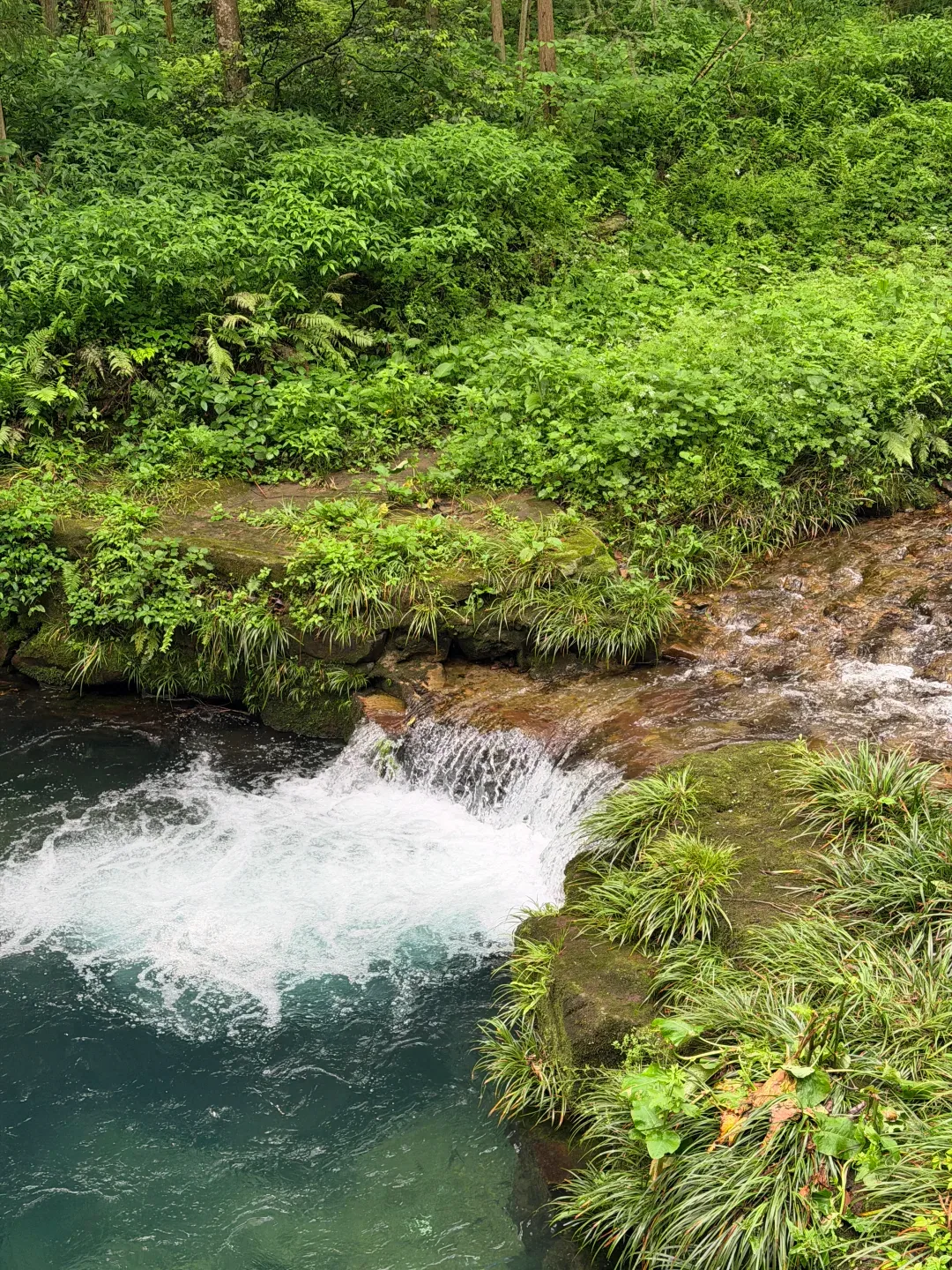
Rain and mist do not automatically ruin this day. They can strengthen color, water and atmosphere while erasing distant summit views. If the upper field is fully enclosed in cloud, moving the valley day forward can save the trip. Flexibility is more valuable than loyalty to Day 1 and Day 2 labels.
The macaques are residents, not props
Macaques appear near paths and visitor areas. Their closeness can feel charming until food, bags and crowd behavior change the relationship.
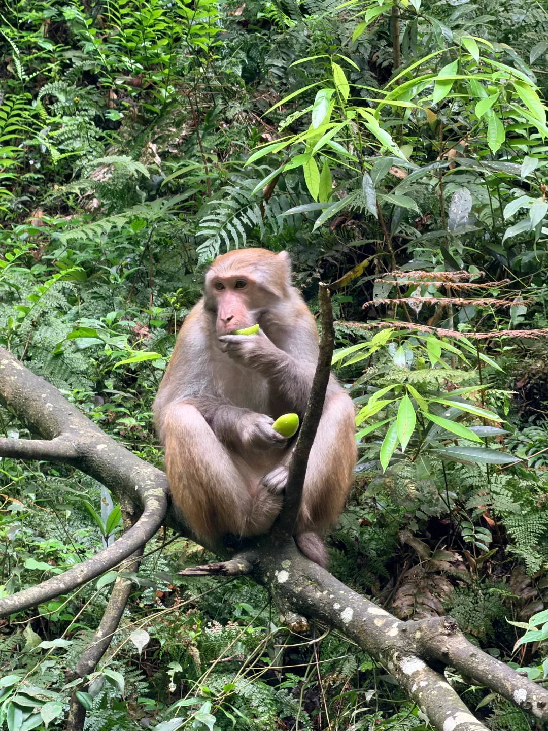
Do not feed them. Do not hold food out for a photograph. Secure loose snacks, follow staff instructions and give an animal space to leave. A macaque that reaches toward a bag is not performing friendliness; it has learned that human objects may contain food.
The photograph above has an important limit. It proves one animal was close to a trail and visibly accustomed to the visitor environment. It cannot prove temperament, safety or that another encounter will unfold the same way. Wildlife is the strongest argument for leaving a little uncertainty in the day.
A practical two-day route without pretending operations are permanent
Day 1: East Gate, upper pillars, one descent
- Enter through the gate printed on the live reservation, early enough to absorb a queue.
- Use the scenic bus toward the chosen first ascent, commonly the Bailong Elevator route for a Yuanjiajie opening.
- Give Yuanjiajie real viewing time rather than photographing every sign.
- Connect only the upper area that fits current buses, weather and attention; Tianzi Mountain is the most natural large-scale continuation when operations align.
- Descend once, then exit. Do not add a valley crossing because the map makes it look nearby.
Day 2: South Gate, Golden Whip Stream, optional Huangshizhai
- Confirm the transfer to South Gate and the day's final exit before starting.
- Walk the lower forest and stream section at a pace that leaves room for stopping.
- Decide at the relevant junction whether Huangshizhai still fits the body and last transport.
- Turn back or exit without shame when weather, crowds or fatigue have already delivered the day's answer.
Do not copy exact prices from this article. Admission products, elevator and cableway charges, packages and concession rules change. The official booking route on your date is the source that can take responsibility for the amount.
What to carry, what to verify and what to leave behind
Carry grip, rain protection, water, a compact snack, identification accepted by the booking, offline Chinese place names and a power bank. Pack lightly enough that stairs and buses do not turn the bag into the main character.
Verify five things on the morning of each park day:
- the exact gate and admission window;
- the operating status of the first ascent and planned descent;
- the last scenic bus, cableway or elevator connection you depend on;
- visibility and rain rather than a generic city forecast;
- the exit that still connects to your accommodation.
Leave behind the fantasy of completion. Wulingyuan is too large and too changeable to be conquered by a screenshot. Its best memory is often a smaller sequence: one mechanical ascent, one impossible pillar field, one quiet stream and the moment you chose not to hurry toward another name.
For the full regional order, return to the Zhangjiajie travel guide. For the separate cave-and-cableway day, continue to Tianmen Mountain. If this is one stop in a larger journey, the Travel to China hub helps connect transport, payments and route scale; Changsha is the useful Hunan continuation when the trip needs street-level city life after the cliffs.
My final Zhangjiajie National Forest Park rule
Plan one level at a time. Let machinery move you where it genuinely protects the day, then slow down enough to notice what the machinery cannot explain.
The park does not become meaningful when you recognize a movie. It becomes meaningful when the upper pillars and lower stream finally belong to the same physical world: stone above, water below, forest between them and your own limits deciding how much can be seen with care.