Chongqing (重庆) is not difficult to understand because it is chaotic. It is difficult because most maps flatten a city that refuses to be flat. Roads pass above other roads; a ground-floor door can open onto a high terrace; a metro station may require an elevator journey before the train begins to move. The famous night skyline is real, but it is only the illuminated surface of a deeper city shaped by rivers, refuge, industry, migration, labor and appetite. This is one city chapter inside our wider Chinese culture guide, not a claim that Chongqing can summarize the country.
Chongqing culture guide: begin with the city's levels
| Read the city through | What it explains | What the postcard leaves out |
|---|---|---|
| Rivers | Port exchange, migration, bridges and the long Yuzhong Peninsula | The Yangtze and Jialing are working geography, not strips of reflected neon |
| Vertical streets | Housing, transit, commerce and several competing “ground floors” | The famous impossible angles are ordinary routes for residents |
| Wartime memory | Refuge, bombing, relocated institutions and industrial growth | Heroic national history cannot erase civilian fear and displacement |
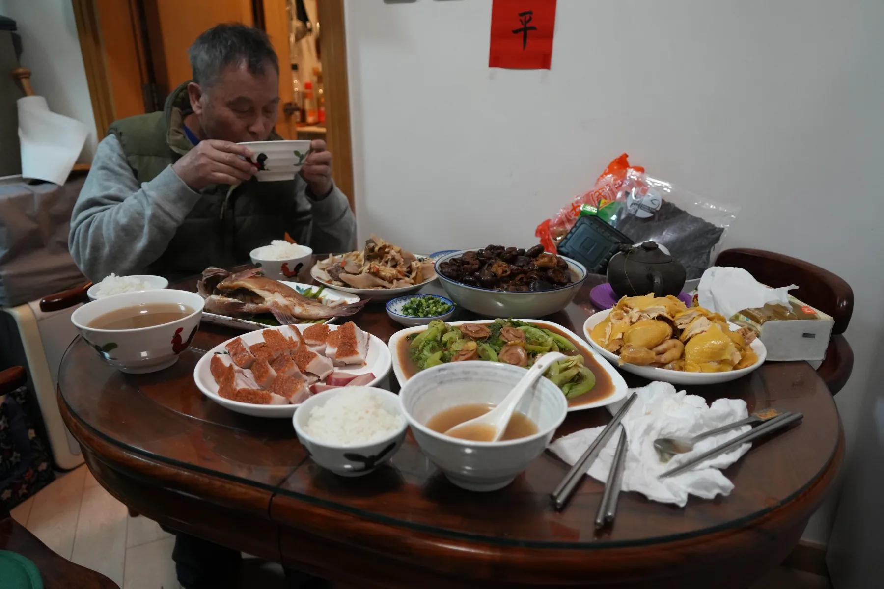
| Food | Timing, labor, appetite and negotiation at a shared table | Mala is a structure of aroma and texture, not a pain contest |
| Local speech and rap | Humor, cadence, belonging and public character | No single gravelly voice can represent an entire city |
| Reused industry | The shift from production to creative and commercial space | Preserved brick is not the same thing as preserved labor memory |
My conclusion is firm: Chongqing is not China's “cyberpunk city.” That label is a useful invitation and a terrible explanation. I reject it whenever it turns residents into extras inside a visitor's science-fiction screenshot. The city becomes legible only when the glowing image is put back on top of river labor, wartime movement, factory history, neighborhood speech and the daily intelligence required to live across several elevations.
The two rivers make the city legible
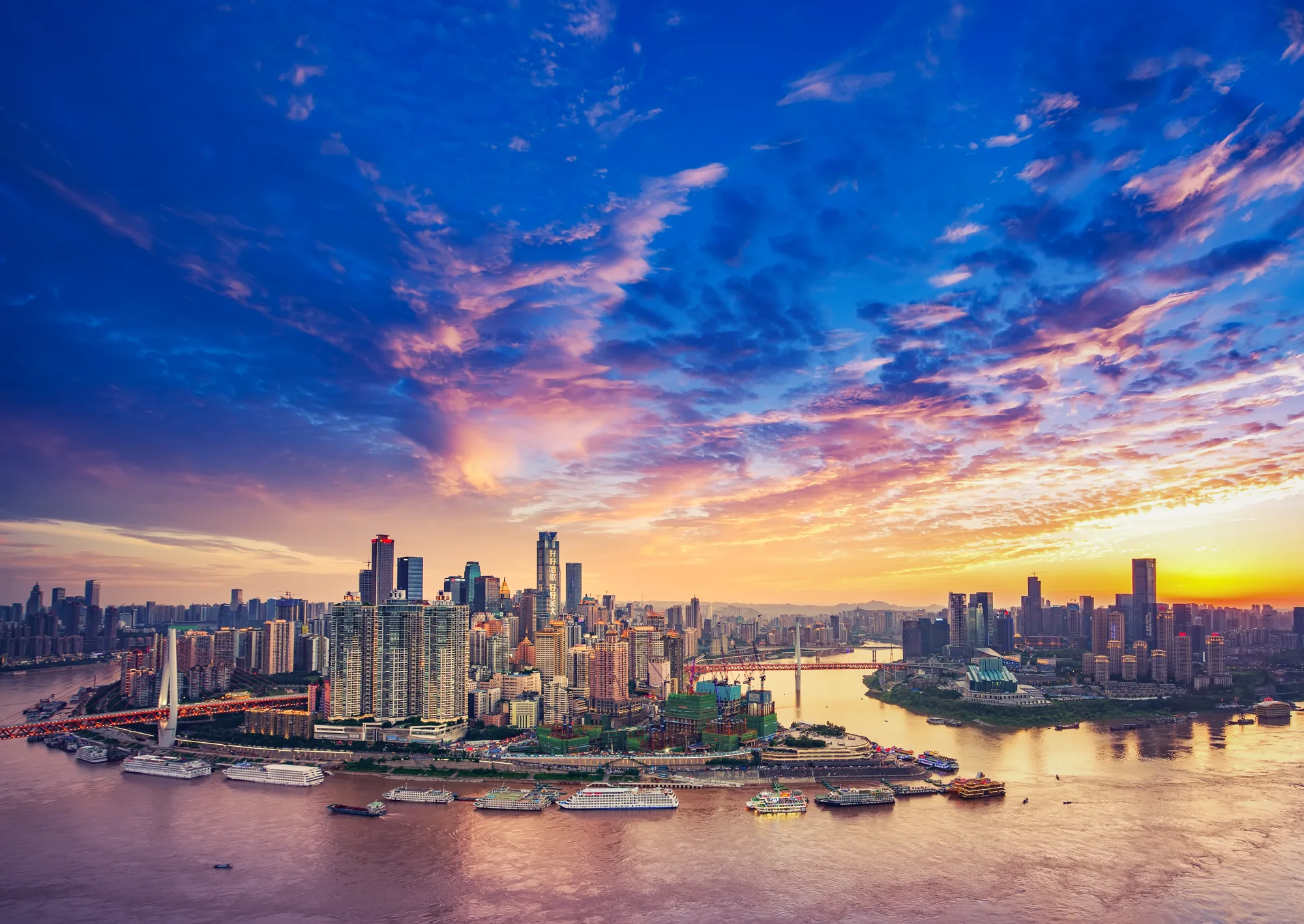
Central Chongqing gathers around the Yuzhong Peninsula, where the Jialing joins the Yangtze at Chaotianmen. This confluence explains the long, narrow urban core, the commanding river views and the bridges that stitch districts together. It also explains why the city was historically a port and a gateway between the Sichuan Basin and the upper Yangtze.
Do not treat Chaotianmen as a single viewpoint. It is transport geography, commercial geography and a site of continuous rebuilding. The monumental Raffles City complex now dominates the tip of the peninsula, but the location mattered long before the towers. Ferries, cargo, passengers and riverbank labor gave the place its importance.
Cross at least one river in daylight and again after dark. From the opposite bank, Yuzhong becomes a ridge rather than a collection of isolated landmarks. Buildings appear to rise in terraces because they do.
How to understand Chongqing's levels
| What the map shows | What the ground may contain | How to travel intelligently |
|---|---|---|
| Two points 600 meters apart | A steep staircase, retaining wall or several floors of elevation | Check walking elevation and street-view clues; allow twice the flat-city time |
| A building entrance | Different entrances opening onto different apparent ground floors | Save the Chinese name and exact entrance; ask which road level you need |
| A metro station | Long internal corridors, elevators and exits on different heights | Choose the exit before leaving the paid area and follow lift signs when needed |
| A riverfront destination | A road or cliff between the upper city and the water | Confirm whether access begins from the upper street or riverside road |
| A nearby attraction across water | A long bridge approach or indirect transfer | Use metro or ferry instead of assuming a short visual distance is walkable |
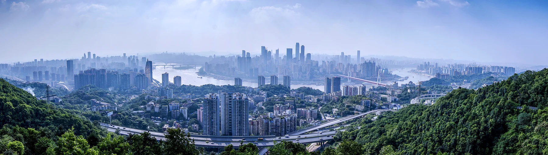
In Chongqing, navigation is a form of cultural education. Stairs reveal old pedestrian logic. Elevators function like public streets. Flyovers produce shaded markets and awkward leftovers that residents repurpose. A bridge is not simply an object to photograph; it changes which neighborhoods can reach one another.
The result can feel cinematic, but daily life inside it is practical. Deliveries, school runs, aging residents, rain, summer heat and construction all move through the same vertical system admired by visitors.
My rule is blunt: a distance in Chongqing is meaningless until it has a level, an entrance and a direction of climb. A phone can promise 200 meters while the body receives stone steps, a hill and several floors. That mismatch is not a cute tourist puzzle. It is the point at which the famous image becomes somebody's ordinary route home.
Yuzhong is a peninsula of compressed histories
The Liberation Monument area is now a commercial center, but its name and urban prominence belong to twentieth-century political memory. Nearby streets move quickly between luxury retail, older residential blocks, small restaurants, steep lanes and major tourist sites.
Walk rather than shuttle only between pins. The most revealing sequence may be an elevator, a service lane, a flight of stairs and a sudden river view. That sequence shows why Chongqing cannot be understood from observation decks alone.
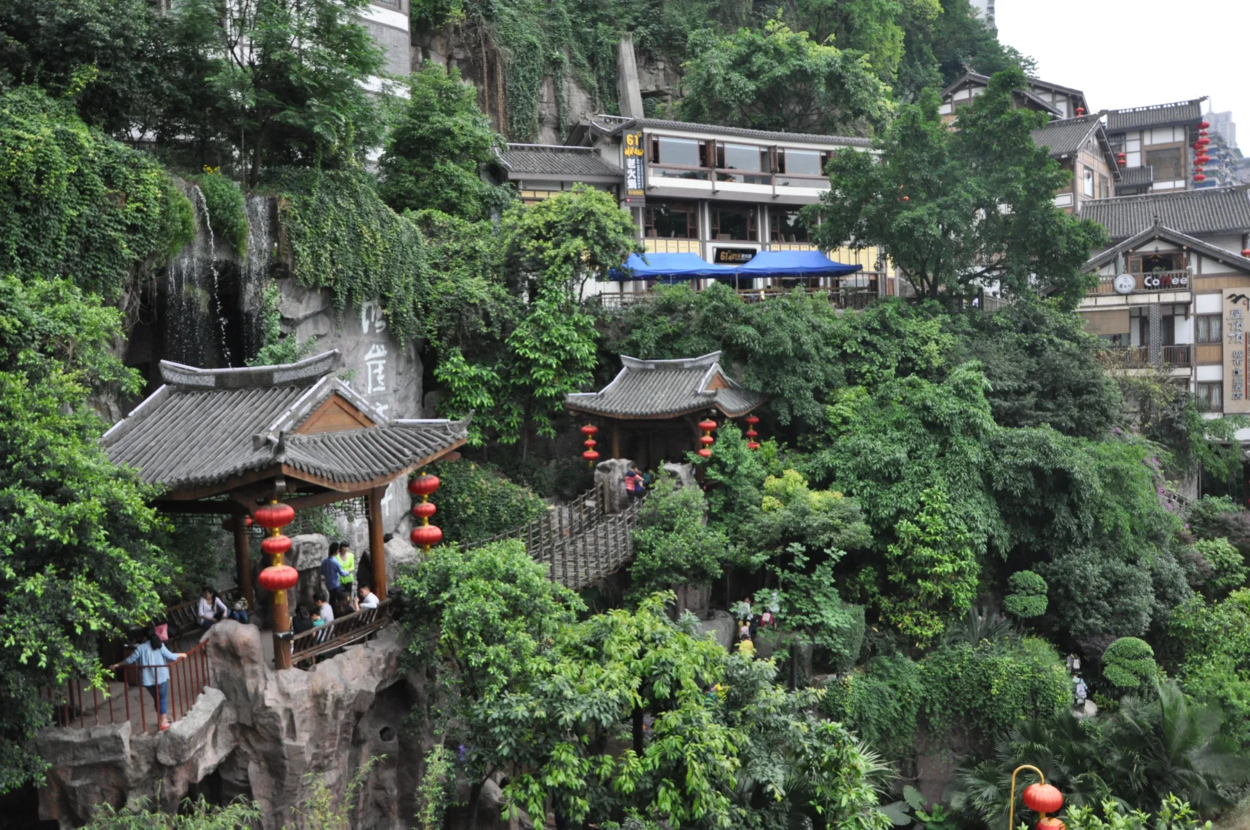
Some stair streets survive as ordinary connectors; others have been aestheticized for tourism. Notice drainage channels, handrails, worn landings, utility lines and the position of front doors. These details tell you whether a route is still lived infrastructure or mainly a scenic stage.
Hongya Cave is a contemporary spectacle with an older reference
Hongya Cave is among Chongqing's most photographed sites. Its stacked, illuminated buildings evoke the city's traditional diaojiaolou, timber-framed houses adapted to slopes. The present complex, however, is a modern commercial and tourism development. It should not be described as an untouched ancient neighborhood.
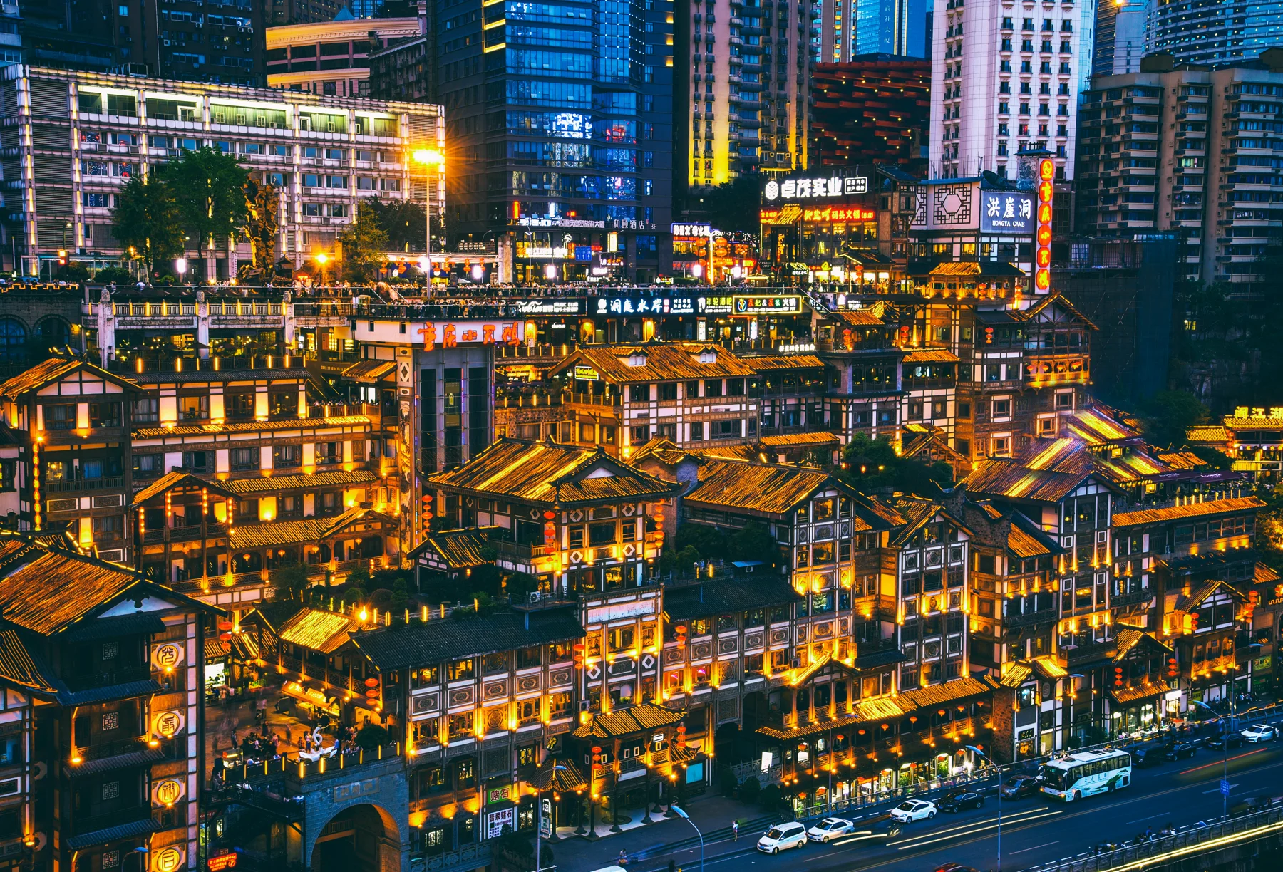
This distinction makes the place more interesting, not less. Hongya Cave demonstrates how contemporary China turns local architectural memory into a dense hospitality machine. Daylight reveals concrete structure, circulation and the surrounding towers; night lighting turns the same mass into an image designed to travel across screens.
Visit once before dark if you want to understand the building, then decide whether the crowded night view matters to you. Do not spend an entire evening in a queue for a photograph the city has already supplied millions of times.
The cableway and rail are infrastructure before they are attractions
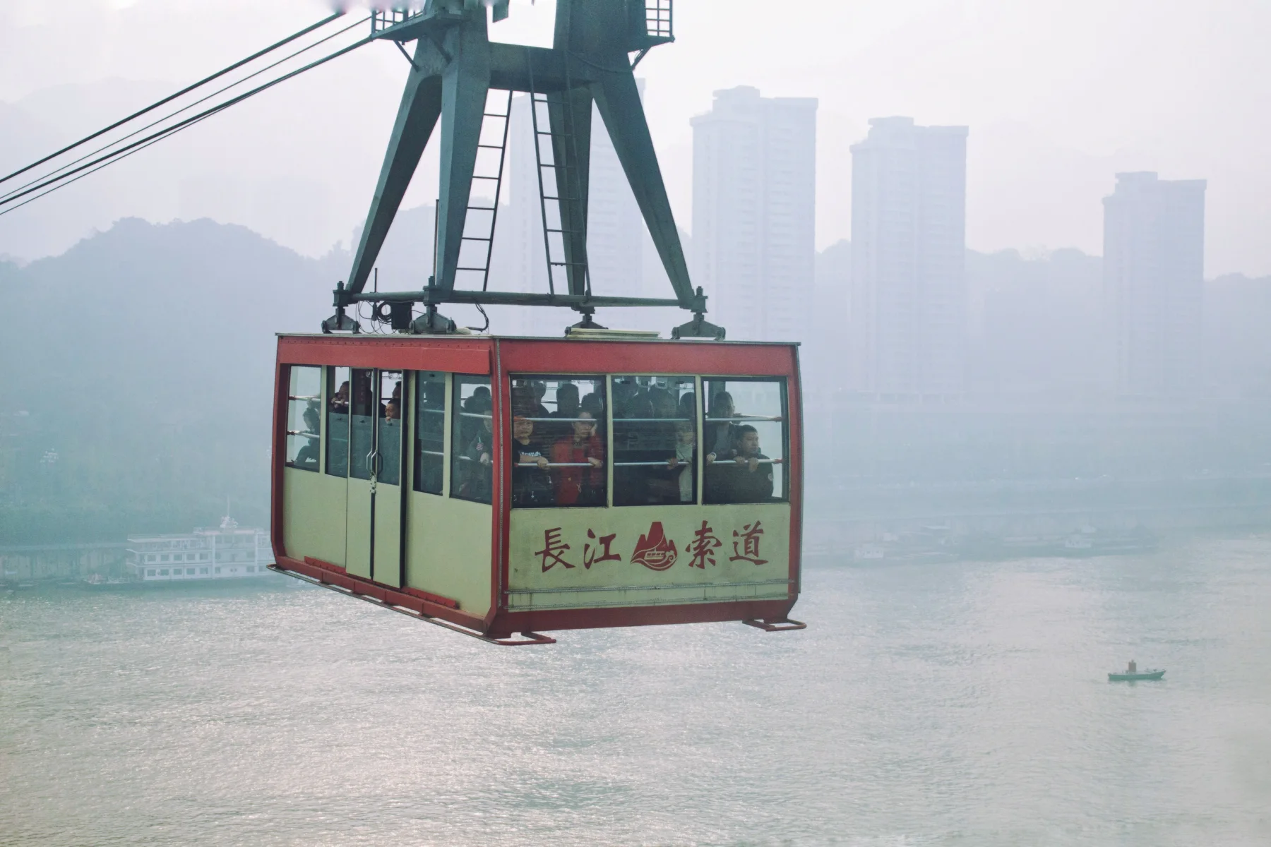
The Yangtze River Cableway once served ordinary cross-river transport and now functions largely as a visitor experience. Its cabins give a compact lesson in river width, elevation and the density of Yuzhong.
The famous view of a train entering a residential building at Liziba is similarly easy to misunderstand. Chongqing's rail system responds to constrained terrain by using bridges, tunnels, elevated alignments and buildings integrated with stations. The viral image is not evidence that urban life ignores engineering; it is evidence of engineering negotiated inside an already difficult city.
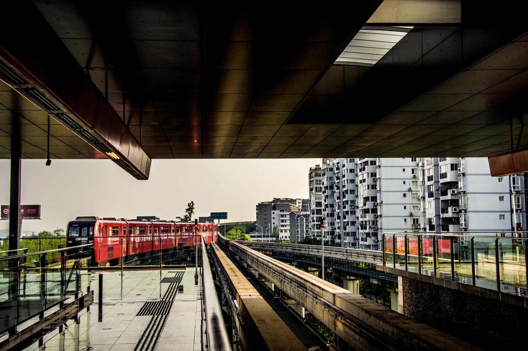
Watch without obstructing residents or station circulation. Then ride the system beyond Liziba. The more useful experience is not seeing one train pass through one frame, but understanding how millions of journeys are made possible across hills and rivers.
Wartime capital history changes the emotional scale
During the Second Sino-Japanese War, Chongqing served as China's wartime capital after the national government moved inland. Government offices, factories, schools, cultural institutions and displaced people arrived from other parts of the country. The city endured prolonged Japanese aerial bombing and extensive civilian suffering.
This history should not be romanticized as only heroic resistance or industrial relocation. Refuge brought overcrowding. Bomb shelters preserved life but also hold memories of fear and disaster. Institutions were rebuilt under pressure while civilians absorbed extraordinary loss.
The Chongqing China Three Gorges Museum is the best first orientation because it connects regional history, wartime Chongqing and the transformation of the upper Yangtze. Add carefully selected wartime sites afterward. A doorway, cave or former residence becomes meaningful only when you know whose work, danger or displacement it represents. The mistake is collecting wartime facades before learning which lives were moved through them.
Industry is part of the city's identity
Chongqing's modern growth is inseparable from manufacturing. Wartime industrial relocation strengthened its inland production base; later state investment, machinery, vehicles, chemicals, electronics and other sectors expanded the metropolitan economy. Contemporary Chongqing remains a major manufacturing and logistics center.
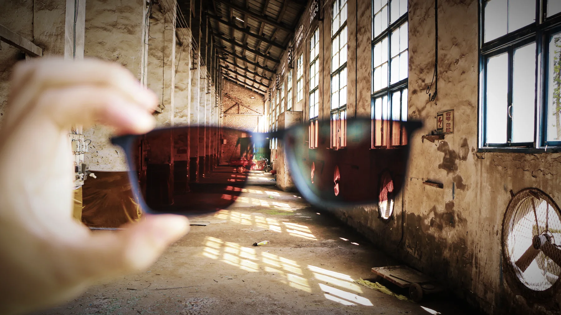
Former factories are increasingly adapted into cultural parks, studios, shops and event spaces. Adaptive reuse can preserve scale and memory, but a cafe inside a workshop does not automatically explain the labor that once happened there. Look for machinery, workers' housing, transport links and interpretation rather than treating brick walls as a visual style.
This industrial layer also complicates the idea of Chongqing as naturally cyberpunk. Its visual density comes from infrastructure, labor and decades of compressed construction, not from a fictional design brief.
Migration belongs to the Three Gorges story
Chongqing is a gateway to the Three Gorges, but river cruises can turn a socially difficult landscape into a smooth sequence of cliffs. The construction of the Three Gorges Project brought major physical transformation and large-scale resettlement across the reservoir region. Communities moved, archaeological sites were documented or relocated, and old urban areas disappeared beneath new water levels.
The Three Gorges Museum helps visitors connect objects and regional history to these changes. On a cruise or reservoir visit, ask what stood at the previous shoreline, where people moved and how new settlements changed work and social networks. Admiration for engineering and attention to human cost can occupy the same sentence.
Ciqikou is both a historic settlement and a tourism economy
Ciqikou, on the Jialing River in Shapingba, developed as a port and commercial town. Its lanes, temples, shops and food traditions offer a different scale from central Yuzhong. Today, the main streets are heavily restored and crowded with retail.
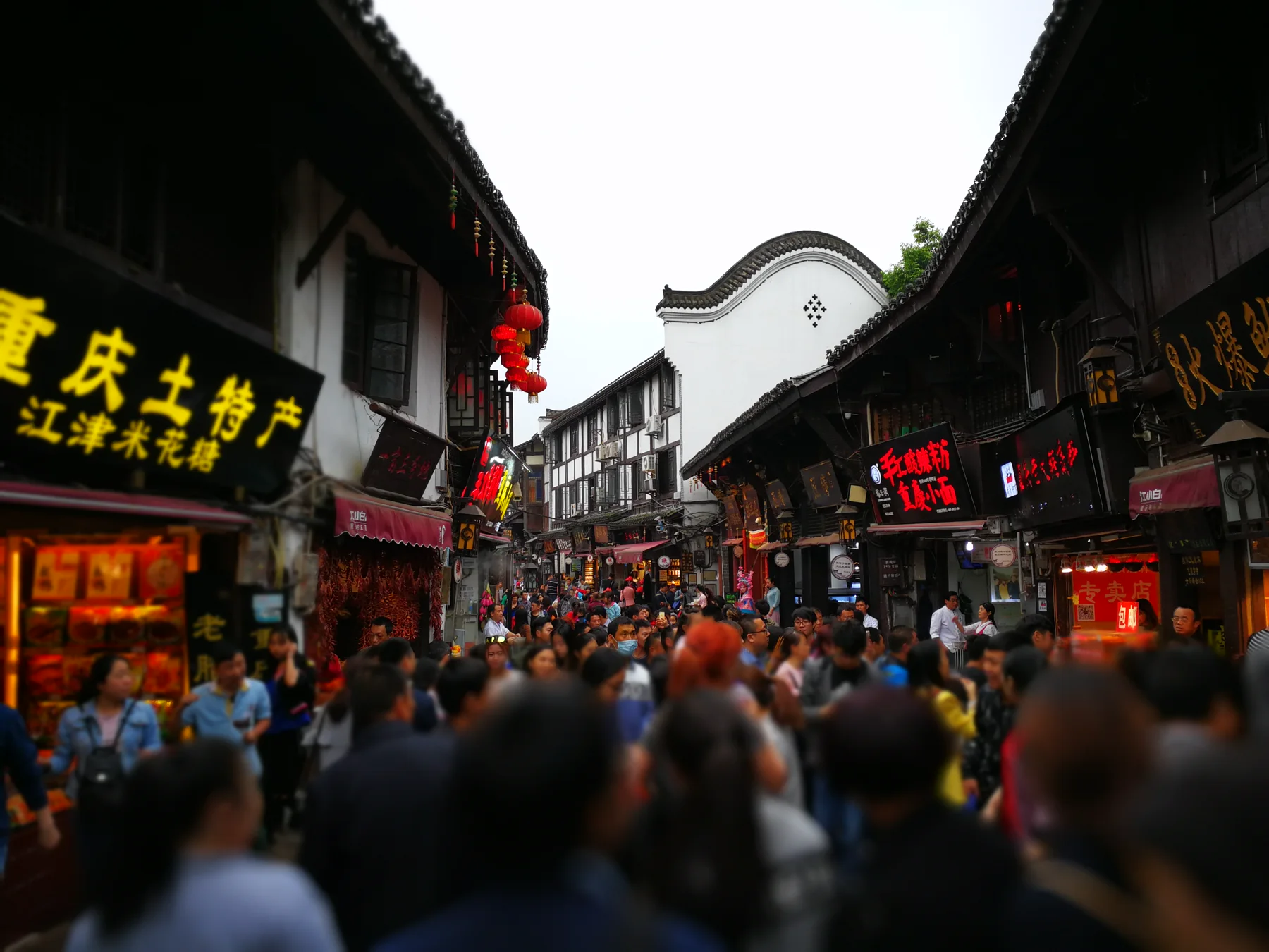
Restoration does not erase all value, but it changes what must be read. The busiest lane shows how heritage is packaged; quieter side streets show residential texture, slope and local movement. Go early, avoid photographing people as decorative background and resist buying a product simply because a sign calls it ancient craft.
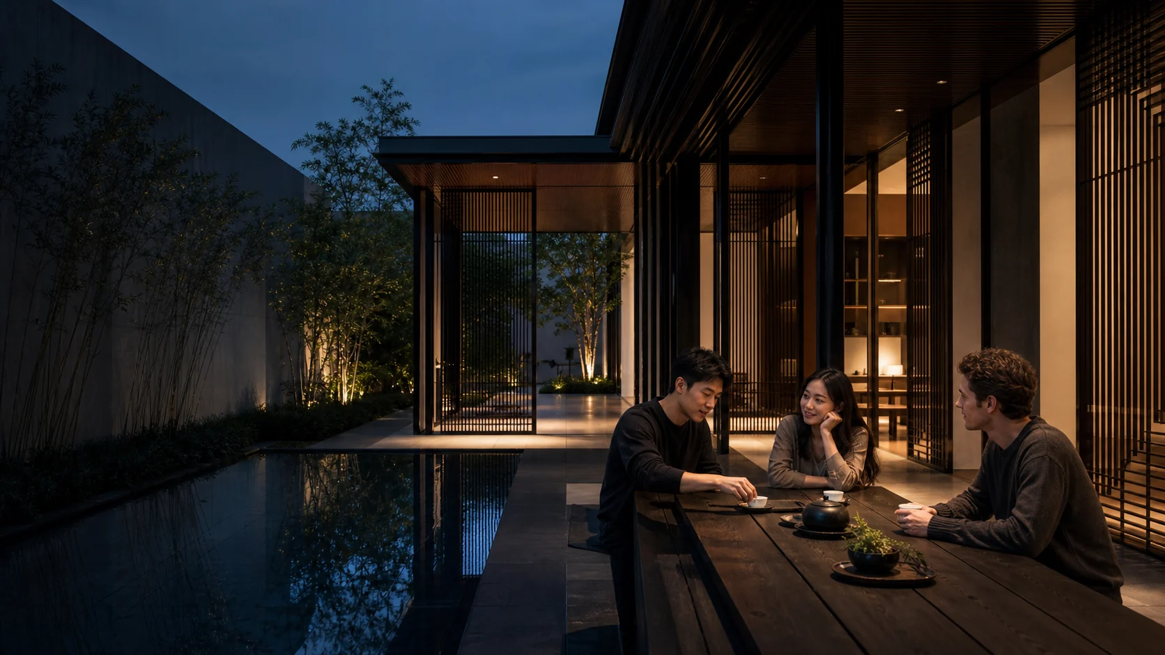
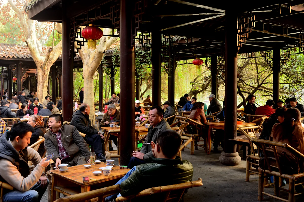
Tea houses slow down the mountain city
Chongqing's public image emphasizes speed, traffic and heat, yet tea houses offer another social rhythm. A table can hold cards, conversation, neighborhood news or an afternoon that is not optimized for sightseeing.
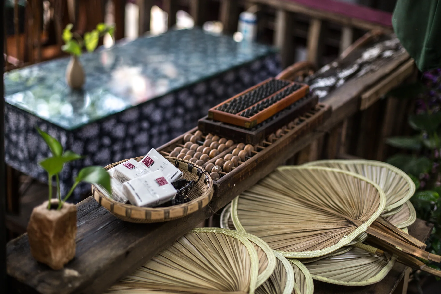
The local dialect and Sichuanese speech environment are part of this intimacy. Standard Mandarin will work in most visitor settings, but listening to local pronunciation and vocabulary reveals a city with its own humor and social tempo. Do not turn dialect into a comic performance; it is how relationships are carried.
Choose a tea house where people are actually spending time rather than only posing. Order clearly, occupy a reasonable amount of space and let the room continue without demanding that it become entertainment.
Dazu Rock Carvings reward close looking
UNESCO's Dazu Rock Carvings record establishes the site's World Heritage scope and chronology. It cannot replace the slower visual work of following how a hand, guardian, animal or domestic scene carries an ethical idea across stone.
The Dazu Rock Carvings, inscribed by UNESCO in 1999, comprise groups of rock carvings dating from the ninth to the thirteenth centuries. Buddhist, Daoist and Confucian subjects appear across different sites, with Baodingshan and Beishan among the most significant visitor areas.
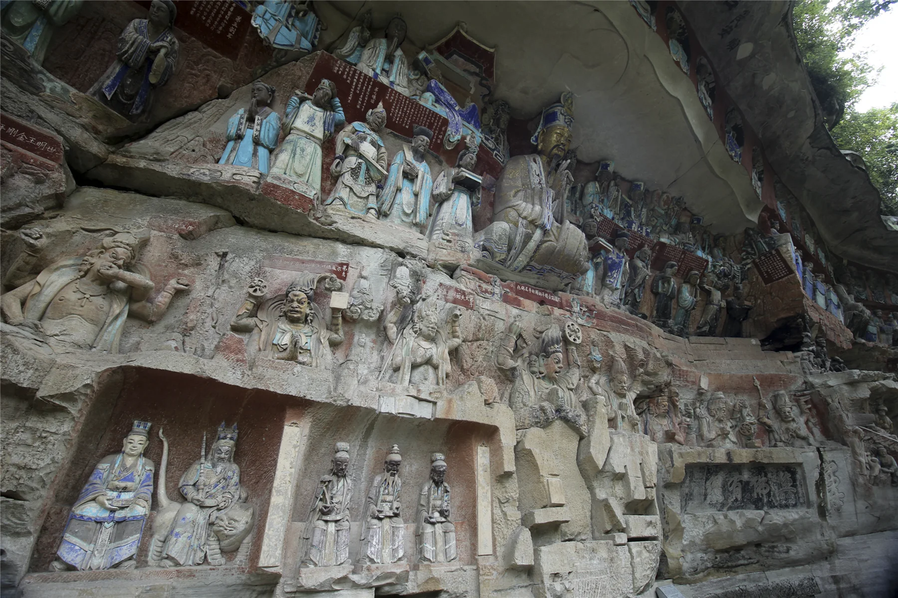
The carvings are not a decorative wall of deities. Narrative sequences address devotion, moral consequence, family ethics and everyday behavior. Their power lies in the relationship between religious ideas and recognizable human life.
Give Dazu a full day from central Chongqing. Light, weather and conservation conditions affect what can be seen. Follow photography restrictions and use a guide or museum interpretation when possible; iconography becomes far richer when individual scenes are identified rather than admired as anonymous detail.
Wulong shows that Chongqing is larger than its skyline
The Wulong karst landscapes form part of UNESCO's South China Karst property. Natural bridges, caves, sinkholes and deep gorges reveal geological processes at a scale that sharply contrasts with the compressed urban center.
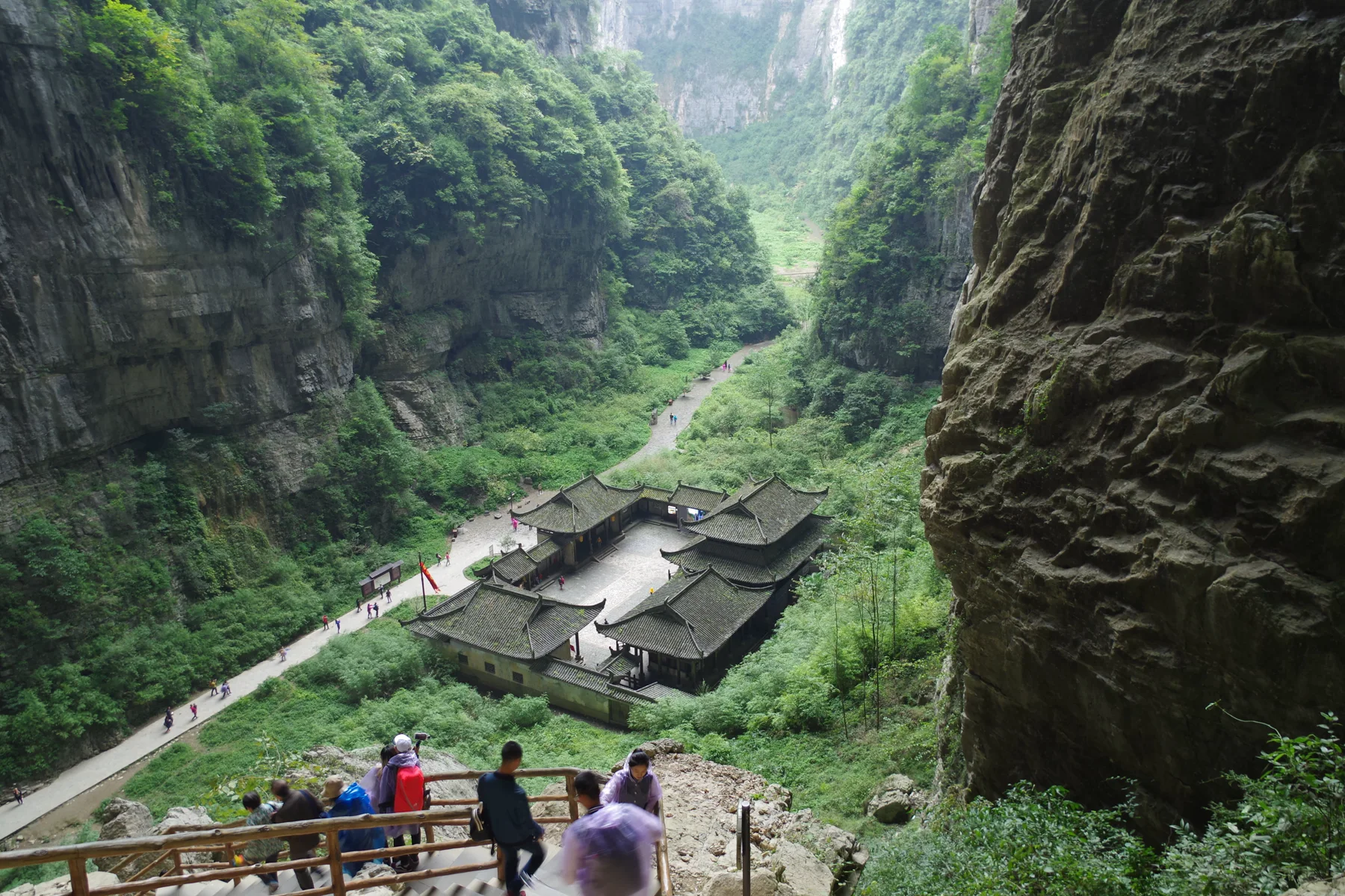
Wulong is not a quick viewpoint. Transfers, shuttle systems, stairs, weather and walking time make it a full-day or overnight undertaking. Surfaces can be wet, and the vertical descent is substantial even when lifts are available.
The area is often photographed as fantasy scenery. Look beyond the cinematic frame to water, rock strata, vegetation and the infrastructure required to move large visitor numbers through a fragile landscape.
Chongqing after dark belongs to people, not only cameras
The neon gets the screenshots, but Chongqing's evenings run on people. Restaurants stay loud, street-side tables fill, young crowds gather around Guanyinqiao and other commercial districts, and live music, bars and small venues carry the city's direct, energetic sociability past midnight. I would trade ten copies of the same Hongya Cave photograph for one honest account of how a table, staircase or local phrase changed the night.
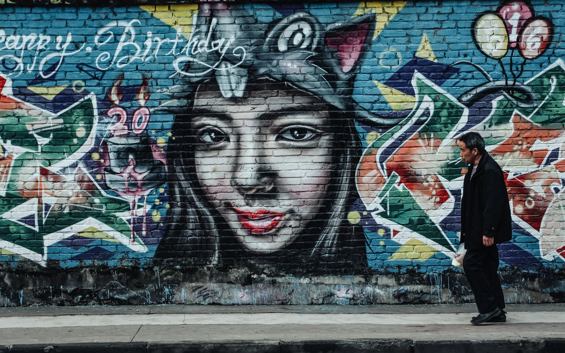
Explore one famous night view, then choose a neighborhood street where the skyline is absent. Order a bowl, listen to the room and notice how tables occupy the edge between private meal and public street. The city becomes more memorable when it stops performing at monumental scale.
For a deeper view of how dialect, nightlife and local collective culture became nationally audible, start with the Chongqing rap scene guide, then compare GAI's Chongqing-shaped career with Bridge's high, slogan-driven vocal character. GAI was born in Weiyuan, Sichuan, while Chongqing shaped his early rap career; Bridge was born in Chongqing. Their shared GO$H history produced different uses of the same regional speech world.
Turn cultural understanding into a better Chongqing visit
This page explains why the city looks, sounds and behaves as it does. The practical decisions—where to stay, how many days to allow, which station exit to use and how to avoid climbing the same hill twice—belong in our travel to Chongqing guide. Keeping those tasks separate matters: culture should not be reduced to an itinerary, and a traveler should not have to extract route advice from an essay on wartime memory.
Food and music provide two stronger continuations. The Chongqing food guide explains why a bowl of xiaomian and a shared red pot reveal different tempos of city life. The Chongqing rap scene tests how GAI, Bridge and Wang Qiming turn one speech world into three incompatible—and therefore more truthful—versions of local identity.
The respectful way to enter all three is the same: do not demand that the city perform its most famous image continuously. Let an ordinary route, a breakfast bowl or a phrase whose humor survives no literal translation correct the skyline.
Frequently asked questions about Chongqing culture
What defines Chongqing culture?
Chongqing culture is shaped by steep mountain-city geography, the Yangtze and Jialing rivers, port exchange, wartime refuge, industrial labor, migration, direct southwest speech, communal food and a modern habit of turning difficult infrastructure into ordinary life.
Why is Chongqing called a mountain city?
Chongqing's central districts occupy ridges, slopes and riverbanks rather than a flat plain. Roads, buildings, rail lines, lifts and stairways meet at different heights, so one building can have several entrances that each feel like ground level.
What is Chongqing best known for?
Chongqing is known for its steep mountain-city geography, the confluence of the Yangtze and Jialing rivers, hot pot and small noodles, layered transit, wartime-capital history, major industry, the Dazu Rock Carvings and the karst landscapes around Wulong.
How are Chongqing and Sichuan culture related?
Chongqing and Sichuan share language, foodways, migration histories and the wider culture of the Sichuan Basin. Chongqing nevertheless has a distinct municipal and port-city identity shaped by river traffic, steep urban form, wartime relocation and its own modern music and industrial networks.
Come for the impossible city, stay for the human one
Chongqing's first impression is spatial: the train, the tower, the bridge, the river suddenly far below. Its lasting impression is relational. A shared hot pot forces a table to negotiate heat and timing. A stair street connects households that a flat map treats as neighbors. A museum links national crisis to individual displacement. A tea house makes a hurried visitor sit still.
The city does not need to be called futuristic to feel extraordinary. It is already more compelling as itself: a port built upward, a refuge marked by war, an industrial center still remaking its economy and a vast municipality whose cliffs and carvings stretch far beyond the glowing peninsula.